When writing the previous blog post on waterproof case for iPad, I started wandering off from the topic and decided to make a separate blog post on the subject: "Could a tablet be a substitute for the chart plotter?"
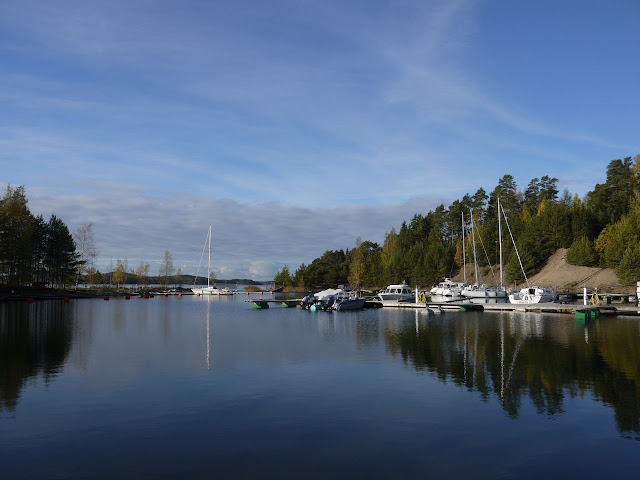
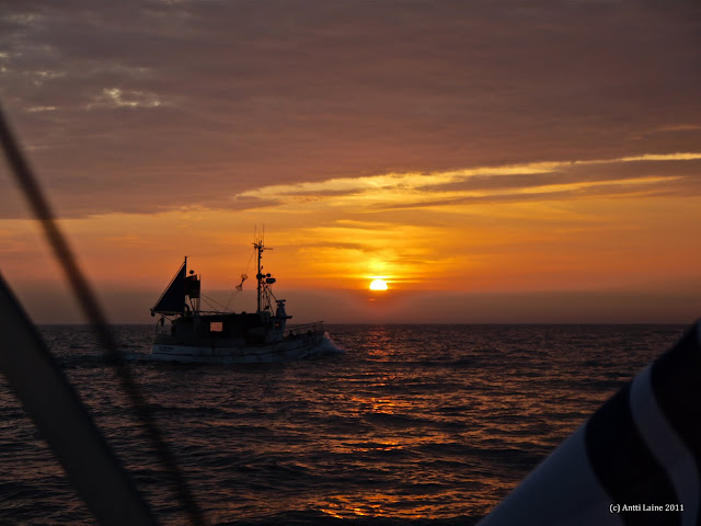
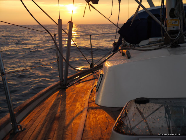
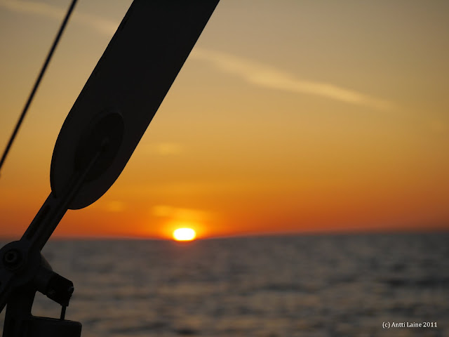
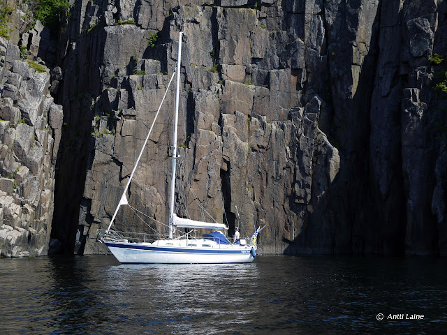
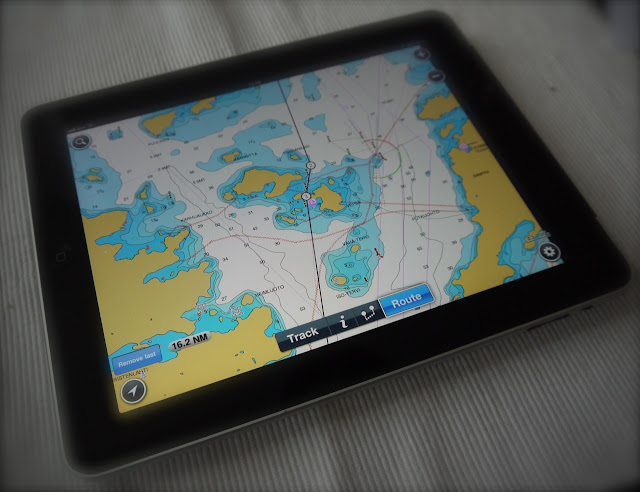
We tested this during our summer cruise to Sweden this season. In order to save some money, we did not buy electronic nautical charts for our Garmin plotter for the High coast, since we had both paper and iPad Navionics charts for the area. Furthermore, I thought that it is also a good idea to rehearse visual navigation skills without checking the position from the chart plotter all the time - it is easy to become lazy and too dependent on the plotter. After all, for low visibility situations we would have that iPad as a backup.
iPad has some advantages compared to the chart plotter:
- First of all, the nautical charts for iPad are very inexpensive compared to the charts for the plotter. For example Navionics Marine Europe HD application costs about 50 € for iPad and it covers basically the whole Europe excluding sea areas of Denmark and UK. Garmin's bluechart G2 vision chart covering only the Gulf of Bothnia would have cost us about 260 €. However, the G2 Vision charts contain for example more information on harbours and also 3D charts (I have not yet figured out, what to do with that feature?). All in all, that means, that the prices are not fully comparable.
- Secondly, using the touchpad is particularly handy for route planning
- Thirdly, the iPad is portable so it can be used anywhere on the boat (or at home for example).
Naturally, the chart plotter is designed for maritime use so it has some strengths compared to iPad.
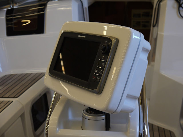
- The plotter is waterproof and designed for harsh marine environment
- The plotter is connected to the boat's main battery system so it keeps running as long as there is enough current in the batteries. Furthermore, charging iPad with a 12 V charger is very slow and inefficient
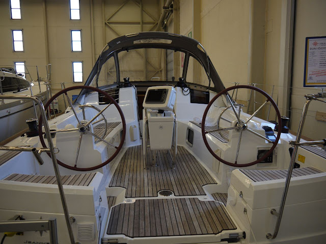
- The plotter has usually fixed mounting and it can be switched on all the time when sailing
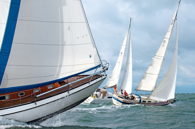
In general, during offshore/coastal sailing I tend to use the iPad perhaps more than the plotter, because moving through the chart and zooming are so handy with the touchpad. However, during longer legs traditional compass and GPS waypoints are the most important navigational aids, so usually the chart plotter is not needed that much.
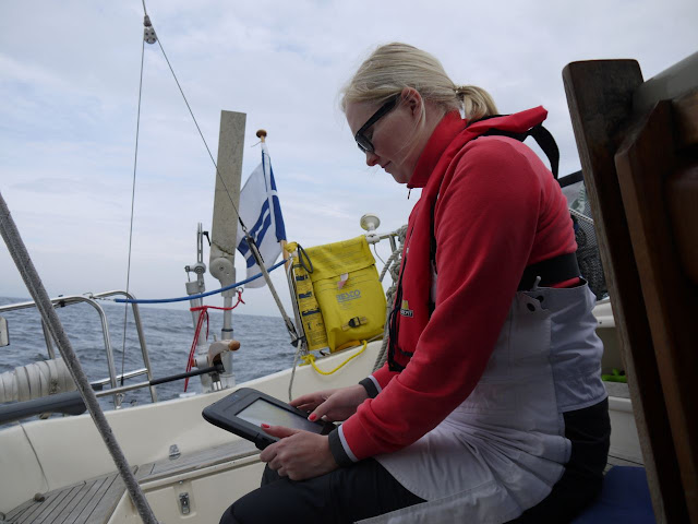
Based on my experience, the value of the chart plotter increases when conditions worsen. On a couple of occasions during this season, when the visibility was low due to rain and it was windy, I learned that iPad cannot really replace our fixed chart plotter. Especially, in rough weather with a small crew, it is easy to run out of hands when steering and adjusting the sails, so it is important that one can just quickly check from the display that everything is ok with the course. With iPad you need at least one hand to switch the device on, and if the iPad does not have a fixed mount, you have to hold it in your hand. Furthermore, iPad easily turns into a flying object onboard, when the ride gets bumpy.
Therefore, iPad should have a fixed mount with a possibility to charge the battery while using so that display can be switched on all the time. There are various stands/mounts available for iPad, but I guess that charging the device is unfortunately not possible with any of the waterproof cases available.
Often things go wrong when something unexpected happens. The initial event may not be anything too serious - like gennaker getting tangled around the forestay, but it is easy to become too concentrated on fixing the problem, that the navigation is overlooked. In these kind of situations it really helps, that one can just in few seconds check from the chart plotter that the boat is on a safe course. I think that this implies even more to some emergency situations like man overboard.
Do not get me wrong, I think that iPad is a great tool for navigation, but it is at its best when used for route planning and as a secondary chart plotter. After this season's experiences, we will always have electronic charts downloaded for our primary chart plotter as well.
What about you, do you have experiences on using a tablet for navigation? Do you think that it can replace the chart plotter? Suggestions on how to improve the usability of the tablet on boat?
/Antti